

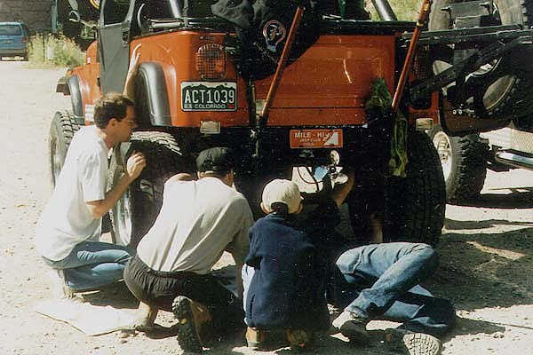
On July 10th 1999, the HoboJeepers (my sidekick Molly and I, Ken Kordes, Paul Weisz and his son Brett, Chris Potter and his son Jason, Jon Brule and his cold (that's dedication), all got together to scout the Kingston Peak Loop Trail. The Kingston Peak Loop Trail starts and ends in Alice. We were scouting the trail for the 1st Annual Hobo Run we put on for the Mile Hi-Jeep Club the following week. After a breakfast at IHOP, we were on our way for a fun-filled break-free day. Well, at least that's what is supposed to happen. As a light separated us on Hwy 6, the front group pulled over just before Tunnel 1. Then as Paul was pulling away, there was a "Clank", or was it a "Clink"? TIP: Don't ever put low-grade steel blocks in your rear springs, all they do is bust. Boy we could of use some air tools (which Paul has now) that morning. Thanks to Ken the "The Toolman" Kordes filing the u-bolts, and everyone's help, we were on our way an hour and a-half later.
Hey, those High-lifts really work!
After airing down, we were on the trail. Then after a short step hill climb east of Alice, we came upon Yankee Hill. This is a short loose and mogaled steep hill climb to the top and back down. There are some easier routes up, but the problem is no one is staying on the main trail. So Yankee Hill has multiple routes up and down.
Near the top of Yankee Hill looking south
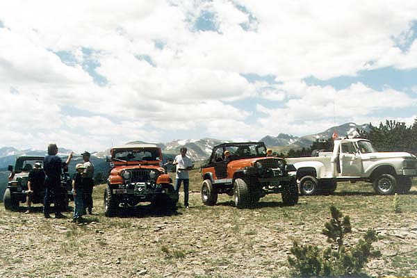
We then proceeded east and found a neat tree-lined trail along the east side of Kingston Peak. The small and tight trail winds up and down back to the main trail heading north. We began to pop above the treeline at about 11600' and the views of the Front Range are great. Most people you'll encounter there are coming up from Central City to the east near Apex. The weather was perfect on top, with no chance of showers. Showers and changing weather up here are common. Lunch at the James Peak Trailhead is always an awesome view.
James Peak Trailhead looking north along Front Range
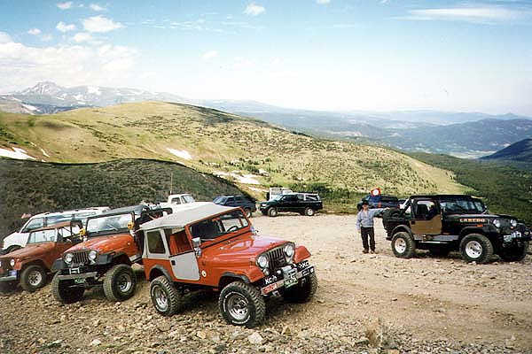
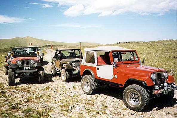
A long steep hill climb is ahead up to the pass and 12000', and tundra is all around you. The hill climb is the most challenging part of this trail, and it consists of some deep moguls that will catch a "stockers" eye. If your locked, you'll enjoy the ride. When you get on top, stay on the trail as much as possible. Some people just don't get how fragile the tundra is, and drive off the trail, please "Tread Lightly" and stay off the tundra.... The Forest Service runs this trail a lot, as it gets used (as the photo shows) being so close to Denver. Greenies want to place the area around James Peak up to the western edge of this trail in wilderness, so we (as OHV users) are being watched on this trail.
Molly with Loch Lomand at the base of Mt. Bancroft (13250'on left), and James Peak (13294' on right)
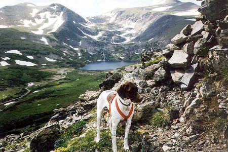
Loch Lomand looking north towards Kingston Peak (12,147'), no trees up here!
We stopped at the Loch Overlook, took in the view, stacked a rock (it's a tradition), and signed the guestbook. On our way down, we pass thru a bristlecone pine forest with some really old trees dating 500 years old or more. Thanks to Paul, for the “always free” air at the end of the trail. See the 1st Annual Hobo Run for more photos of the Kingston Peak Loop Trail.
Bill Hallinan
Patrol Leader
Here are some other Kingston Peak Trip Reports:
Kingston Peak by mountain bike
Kingston Peak Trail Report by TrailRidge Runners 4x4 Club

![]()